
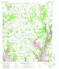
1959 Map of Yantis
USGS Topo · Published 1960About this map
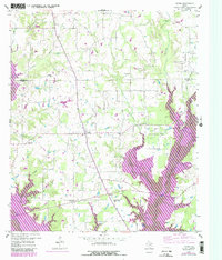
Yantis sits at the heart of this East Texas survey, surrounded by a landscape defined by small agrarian communities and an emerging energy industry. The intersection of rural life and natural resources is evident in the proximity of Yantis Cem and White Oak Ch to the Yantis Gas and Oil Field. This era predates the major inundation that would later alter the local geography, showing the original winding course of Lake Fork Creek and its many tributaries like Little Caney Creek and Running Creek.
Find a feature on this map
29 named features on this map. Tap any name to fly to it.
Don’t see what you’re looking for? This feature index may not catch every label — zoom into the map to look around manually.
Map Details
Editions of this 1959 Yantis Map
3 editions found
Other maps of this area

1953 · Texarkana
USGS Topo · 1:250,000

1956 · Texarkana
USGS Topo · 1:250,000

1956 · Tyler
USGS Topo · 1:250,000

1958 · Arbala
USGS Topo · 1:24,000

1958 · Alba
USGS Topo · 1:24,000

1959 · Calvary
USGS Topo · 1:24,000

1959 · Alba
USGS Topo · 1:62,500

1960 · Pleasant Grove
USGS Topo · 1:24,000

1960 · Quitman
USGS Topo · 1:24,000

1962 · Brashear
USGS Topo · 1:24,000