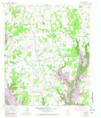
1959 Map of Yantis
USGS Topo · Published 1982About this map
The Yantis Gas and Oil Field defines much of the eastern landscape of this Wood County region, where the energy industry overlays a rural framework of small settlements and family farms. At the center of the sheet, the town of Yantis serves as a local hub, surrounded by scattered communities like Seymore, Grubbe, and Gilbreth. The landscape is transitioning during this period, with the introduction of the Lake Fork Reservoir and its associated purple-shaded inundation zones along Lake Fork Creek and Caney Creek. These changes signal a shift from traditional bottomland agriculture to the water-managed environment of modern East Texas. Genealogists and local historians can trace legacy landmarks through several rural congregations and burial sites, including White Oak Ch, Sandifer Sch, and the Sharp Cem, providing a window into the community structures of the late 1950s.
Find a feature on this map
40 named features on this map. Tap any name to fly to it.
Don’t see what you’re looking for? This feature index may not catch every label — zoom into the map to look around manually.
Map Details
Editions of this 1959 Yantis Map
3 editions found
Other maps of this area

1953 · Texarkana
USGS Topo · 1:250,000

1956 · Texarkana
USGS Topo · 1:250,000

1956 · Tyler
USGS Topo · 1:250,000

1958 · Arbala
USGS Topo · 1:24,000

1958 · Alba
USGS Topo · 1:24,000

1959 · Calvary
USGS Topo · 1:24,000

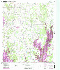
1959 · Yantis
USGS Topo · 1:24,000

1959 · Alba
USGS Topo · 1:62,500

1960 · Pleasant Grove
USGS Topo · 1:24,000

1960 · Quitman
USGS Topo · 1:24,000