
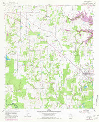
1958 Map of Alba
USGS Topo · Published 1960About this map
The town of Alba serves as the focal point of this late-1950s study of East Texas, where the landscape is marked by the industrial legacy of lignite and oil. Located at the intersection of several county lines, the area shows clear evidence of its extractive past with a prominent Old Mining Area to the south and an Old Railroad Grade cutting across the terrain toward Ginger. These corridors once moved resources across the wooded hills of the Sabine River basin.
Find a feature on this map
40 named features on this map. Tap any name to fly to it.
Don’t see what you’re looking for? This feature index may not catch every label — zoom into the map to look around manually.
Map Details
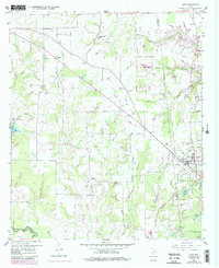
Editions of this 1958 Alba Map
3 editions found
Other maps of this area

1956 · Tyler
USGS Topo · 1:250,000

1956 · Emory
USGS Topo · 1:62,500

1958 · Arbala
USGS Topo · 1:24,000

1959 · Calvary
USGS Topo · 1:24,000

1959 · Golden
USGS Topo · 1:24,000

1959 · Grand Saline
USGS Topo · 1:24,000

1959 · Yantis
USGS Topo · 1:24,000

1959 · Grand Saline
USGS Topo · 1:62,500

1959 · Alba
USGS Topo · 1:62,500
1962 · Fruitvale
USGS Topo · 1:24,000