
1959 Map of Golden
USGS Topo · Published 1960About this map
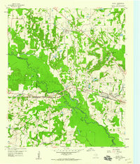
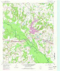
The Sabine River meanders through the heart of this landscape, forming the natural border where Wood, Van Zandt, and Smith counties meet. The bottomlands are a dense network of oxbow lakes and wetlands, including Butler Lake, Silver Lake, and Schrimsher Lake, contrasting with the higher ground to the north where the community of Golden is established. This era shows an economy transitioning from traditional agriculture to energy and aviation, evidenced by the presence of an active Oil Field and the Wisener Airport near the growing outskirts of West Mineola.
Find a feature on this map
41 named features on this map. Tap any name to fly to it.
Don’t see what you’re looking for? This feature index may not catch every label — zoom into the map to look around manually.
Map Details
Editions of this 1959 Golden Map
Other maps of this area

1956 · Tyler
USGS Topo · 1:250,000

1958 · Alba
USGS Topo · 1:24,000

1959 · Calvary
USGS Topo · 1:24,000

1959 · Grand Saline
USGS Topo · 1:24,000

1959 · Van
USGS Topo · 1:24,000

1959 · Van Lake
USGS Topo · 1:24,000

1959 · Grand Saline
USGS Topo · 1:62,500

1959 · Alba
USGS Topo · 1:62,500

1960 · Lindale
USGS Topo · 1:24,000

1960 · Mineola
USGS Topo · 1:24,000