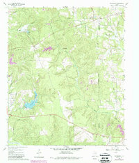
1960 Map of Rhonesboro
USGS Topo · Published 1987About this map
The Wood and Upshur County line divides this landscape of East Texas timberland and creek bottoms, anchored by the settlements of Rhonesboro and Perryville. The terrain is defined by a dense network of drainages, including Little Cypress Creek and its many tributaries like Webster Creek and Turkey Creek. This 1960s-era survey, updated in the late 1970s, captures the local infrastructure and rural community life through landmarks such as Little Hope Ch and the recreational grounds at Camp Deer Run. A significant archaeological and historical artifact is the Old Railroad Grade running through the southern section of the map, tracing a defunct transportation corridor that once linked these timber communities. The presence of numerous pipelines and small water bodies like Gunstream Lakes and Horseshoe Lake reflects the region's transition between agricultural uses and resource management.
Find a feature on this map
29 named features on this map. Tap any name to fly to it.
Don’t see what you’re looking for? This feature index may not catch every label — zoom into the map to look around manually.
Map Details
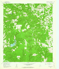
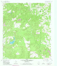
Editions of this 1960 Rhonesboro Map
4 editions found
Other maps of this area

1956 · Tyler
USGS Topo · 1:250,000

1960 · Shady Grove
USGS Topo · 1:24,000

1960 · Pritchett
USGS Topo · 1:24,000

1960 · Hainesville
USGS Topo · 1:24,000

1960 · Winnsboro
USGS Topo · 1:24,000

1960 · Cartwright
USGS Topo · 1:24,000

1960 · Thomas
USGS Topo · 1:24,000

1960 · Newsome
USGS Topo · 1:24,000

1960 · Leesburg
USGS Topo · 1:24,000

1960 · Rhonesboro
USGS Topo · 1:24,000