
1960 Map of Shady Grove
USGS Topo · Published 1961About this map
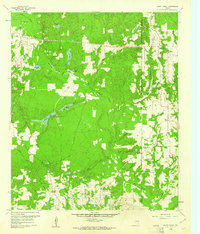
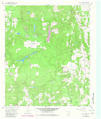
The Hawkins Oil Field dominates the southern landscape of this East Texas survey, where numerous oil wells and a network of pipelines indicate the region's industrial foundations in the early 1960s. The terrain is defined by a dense system of waterways including Big Sandy Creek, Holly Creek, and the wetlands of Warren Swamp. Small rural centers and community hubs like Shady Grove are connected by a web of light-duty roads, while several country churches, such as Maple Springs Ch and Little Mound Missionary Ch, serve as social anchors for the surrounding farmsteads. The northern reaches show a more recreational or private character with Brookhaven Lodge and Clonts Ranch situated near Brooks Lake and Holly Lake. This map captures a precise moment when the traditional agriculture of Wood County coexisted with intensive petroleum extraction.
Find a feature on this map
37 named features on this map. Tap any name to fly to it.
Don’t see what you’re looking for? This feature index may not catch every label — zoom into the map to look around manually.
Map Details
Editions of this 1960 Shady Grove Map
Other maps of this area

1956 · Tyler
USGS Topo · 1:250,000

1960 · Hawkins
USGS Topo · 1:24,000

1960 · Big Sandy
USGS Topo · 1:24,000

1960 · Pritchett
USGS Topo · 1:24,000

1960 · Hainesville
USGS Topo · 1:24,000

1960 · Cartwright
USGS Topo · 1:24,000

1960 · Thomas
USGS Topo · 1:24,000

1960 · Rhonesboro
USGS Topo · 1:24,000

1960 · Crow
USGS Topo · 1:24,000

1984 · Tyler
USGS Topo · 1:250,000