
1960 Map of Winnsboro
USGS Topo · Published 1962About this map
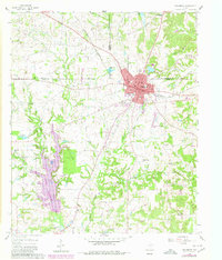
Winnsboro functions as a vital crossroads at the intersection of Wood, Franklin, and Hopkins counties during this mid-century period. The town's grid is anchored by Church St and Broadway St, with the Louisiana & Arkansas RR cutting through the center near the Railroad Pool. A robust petroleum economy is evident in the surrounding countryside, dominated by the massive Pickton Oil Field to the northwest and the Winnsboro Oil Field just south of the city. These industrial developments share the landscape with traditional community anchors such as Tinney Chapel, Forest Grove Ch, and Lee Cem. The inclusion of a Drag Strip and the Mulinax Landing Strip suggests a transition toward more modern recreational and transportation uses alongside the established oil and timber-rich terrain defined by Big Sandy Creek and Indian Creek.
Find a feature on this map
51 named features on this map. Tap any name to fly to it.
Don’t see what you’re looking for? This feature index may not catch every label — zoom into the map to look around manually.
Map Details
Editions of this 1960 Winnsboro Map
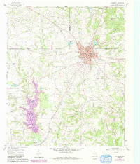
3 editions found
Other maps of this area

1953 · Texarkana
USGS Topo · 1:250,000

1956 · Texarkana
USGS Topo · 1:250,000

1956 · Tyler
USGS Topo · 1:250,000

1960 · Cartwright
USGS Topo · 1:24,000

1960 · Newsome
USGS Topo · 1:24,000

1960 · Rhonesboro
USGS Topo · 1:24,000

1960 · Pleasant Grove
USGS Topo · 1:24,000

1960 · Quitman
USGS Topo · 1:24,000

1964 · Como
USGS Topo · 1:24,000

1964 · Purley
USGS Topo · 1:24,000