1960 Map of Winnsboro
USGS Topo · Published 1991About this map
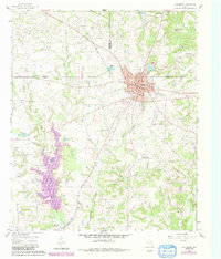
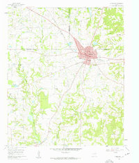
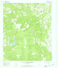
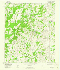
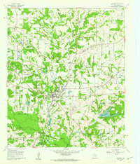
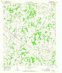
Winnsboro sits at the intersection of Wood, Hopkins, and Franklin counties, serving as a hub for the surrounding petroleum and agricultural landscape. The 1960 survey, updated with 1980 photorevisions, reveals a region defined by extensive energy production, notably the Pickton Oil Field and the Winnsboro Oil Field. These fields are interspersed with rural churches and cemeteries that anchor the local genealogy, such as Mt Zion Ch, Lee Cem, and McGee Cem.
Find a feature on this map
44 named features on this map. Tap any name to fly to it.
Don’t see what you’re looking for? This feature index may not catch every label — zoom into the map to look around manually.
Map Details
Editions of this 1960 Winnsboro Map
3 editions found

Other maps of this area

1953 · Texarkana
USGS Topo · 1:250,000

1956 · Texarkana
USGS Topo · 1:250,000

1956 · Tyler
USGS Topo · 1:250,000
1960 · Winnsboro
USGS Topo · 1:24,000
1960 · Cartwright
USGS Topo · 1:24,000
1960 · Newsome
USGS Topo · 1:24,000
1960 · Rhonesboro
USGS Topo · 1:24,000
1960 · Pleasant Grove
USGS Topo · 1:24,000
1960 · Quitman
USGS Topo · 1:24,000
1964 · Como
USGS Topo · 1:24,000