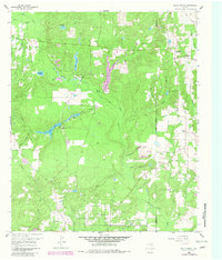
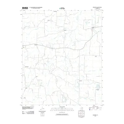
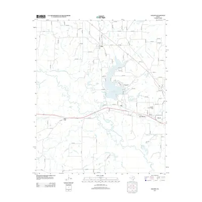
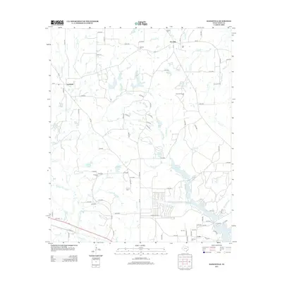
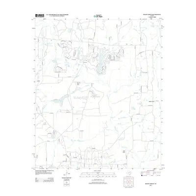
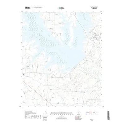
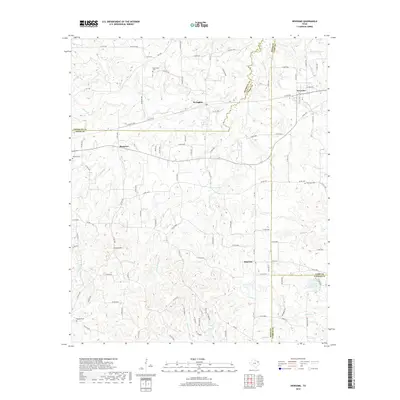
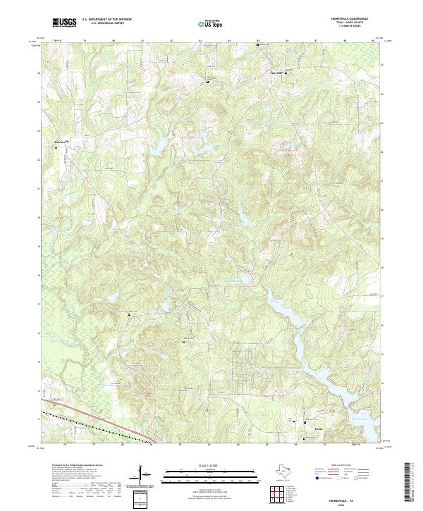
1960 Map of Hainesville
USGS Topo · Published 1982About this map
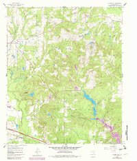
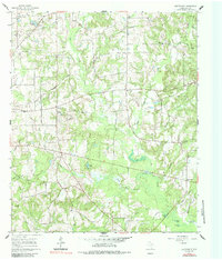
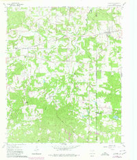
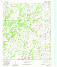
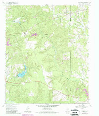
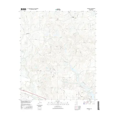
Hainesville sits at the heart of this East Texas survey, surrounded by a dense network of creek branches and rural family landmarks. The landscape is defined by its early community centers, including Mt Pisgah Ch, Macedonia Ch, and the Hainesville School. In the southern reaches, the Missouri Pacific railroad cuts a straight line through the terrain near Fouke, while various water bodies like Puckett Lake and Wisenbaker Lake punctuate the wooded lowlands. Genealogists will find significant value in the numerous burial sites across the quadrangle, such as Reed Cem, Redlands Cem, and the Old Fouke Cem. The presence of a Gas Terminal and a Firing Range reflects the mid-century industrial and recreational development of Wood County, while older rural clusters like Pine Mills suggest the area's agricultural foundations.
Find a feature on this map
56 named features on this map. Tap any name to fly to it.
Don’t see what you’re looking for? This feature index may not catch every label — zoom into the map to look around manually.
Map Details
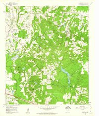
Editions of this 1960 Hainesville Map
2 editions found
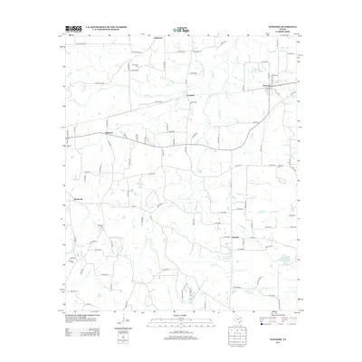
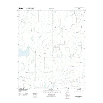
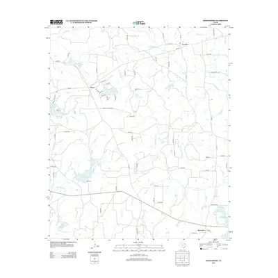
Historical Maps of Hainesville Through Time
48 maps found
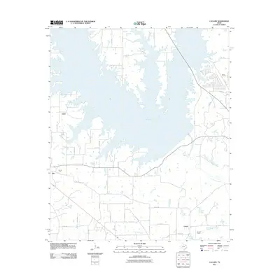
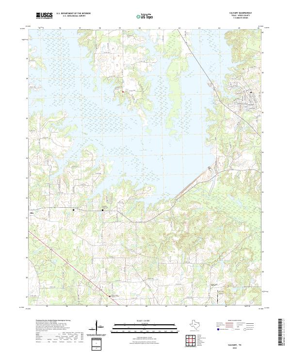
1959 Calvary
Wood County, TX
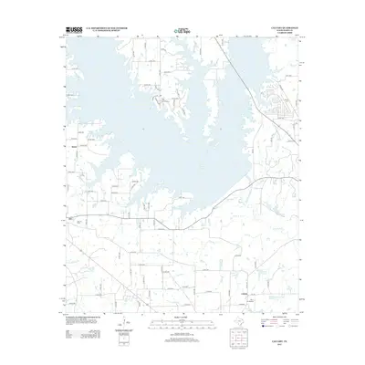
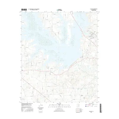
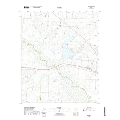
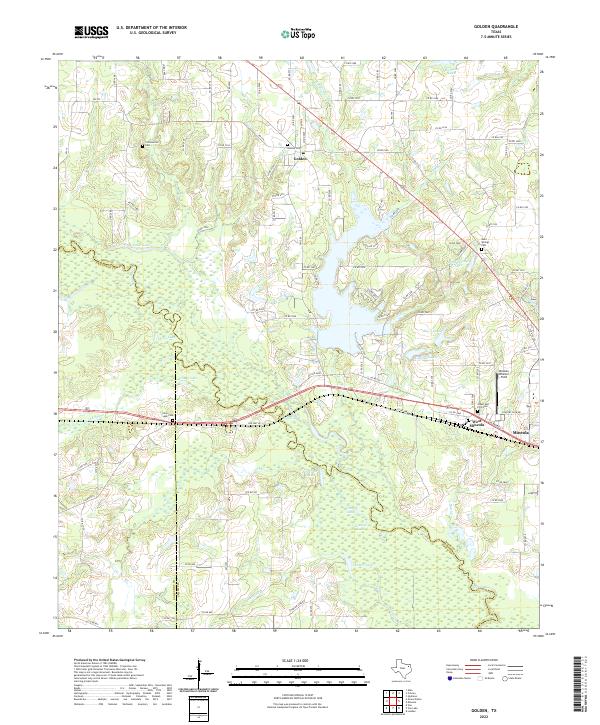
1959 Golden
Wood County, TX
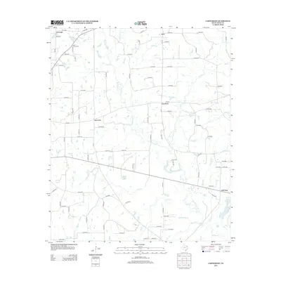
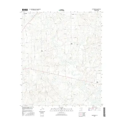
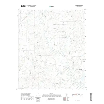
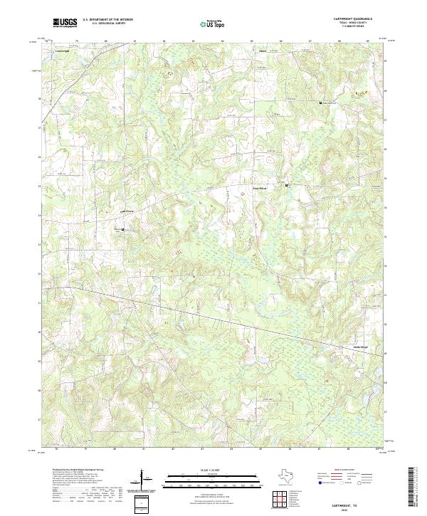
1960 Cartwright
Wood County, TX
1960 Hainesville
Wood County, TX
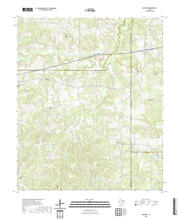
1960 Newsome
Wood County, TX
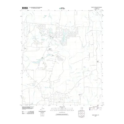
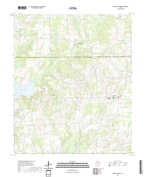
1960 Pleasant Grove
Wood County, TX
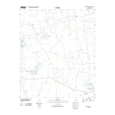
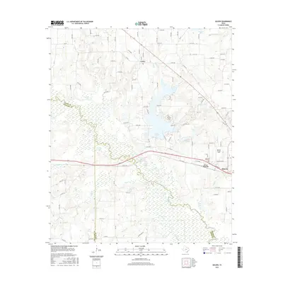
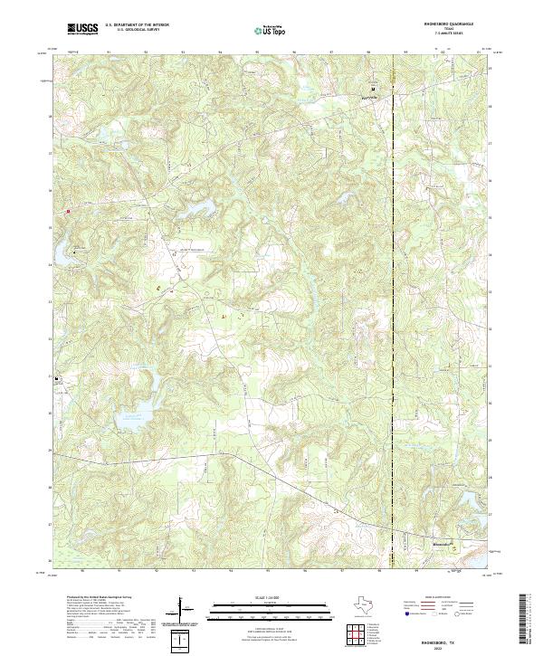
1960 Rhonesboro
Wood County, TX
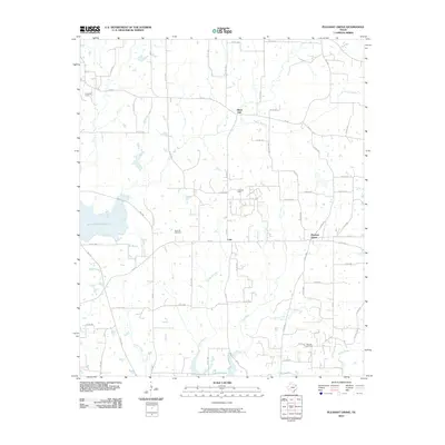
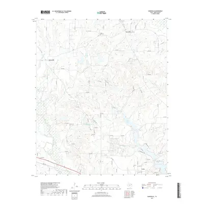
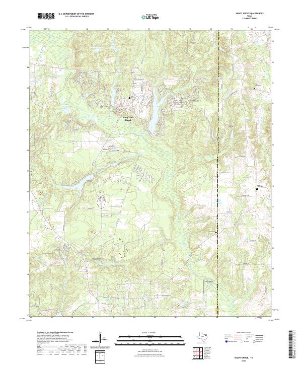
1960 Shady Grove
Wood County, TX
2010 Cartwright
Wood County, TX
2010 Golden
Wood County, TX
2010 Hainesville
Wood County, TX
2010 Newsome
Wood County, TX
2010 Pleasant Grove
Wood County, TX
2010 Rhonesboro
Wood County, TX
2010 Shady Grove
Wood County, TX
2011 Calvary
Wood County, TX
2012 Calvary
Wood County, TX
2012 Cartwright
Wood County, TX
2012 Golden
Wood County, TX
2012 Hainesville
Wood County, TX
2012 Newsome
Wood County, TX
2012 Pleasant Grove
Wood County, TX
2012 Rhonesboro
Wood County, TX
2012 Shady Grove
Wood County, TX
2016 Calvary
Wood County, TX
2016 Cartwright
Wood County, TX
2016 Golden
Wood County, TX
2016 Hainesville
Wood County, TX
2016 Newsome
Wood County, TX
2016 Pleasant Grove
Wood County, TX

2016 Rhonesboro
Wood County, TX
2016 Shady Grove
Wood County, TX
2019 Calvary
Wood County, TX
2019 Cartwright
Wood County, TX
2019 Golden
Wood County, TX
2019 Hainesville
Wood County, TX
2019 Newsome
Wood County, TX
2019 Pleasant Grove
Wood County, TX
2019 Rhonesboro
Wood County, TX
2019 Shady Grove
Wood County, TX
2022 Calvary
Wood County, TX
2022 Cartwright
Wood County, TX
2022 Golden
Wood County, TX
2022 Hainesville
Wood County, TX
2022 Newsome
Wood County, TX
2022 Pleasant Grove
Wood County, TX
2022 Rhonesboro
Wood County, TX
2022 Shady Grove
Wood County, TX