
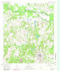
1960 Map of Lindale
USGS Topo · Published 1962About this map
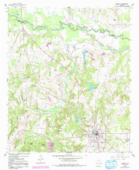
The Missouri Pacific railroad corridor cuts diagonally across this East Texas landscape, anchoring the development of Lindale and the smaller siding at Eads during the early 1960s. The northern boundary is defined by the winding course of the Sabine River and its Old Sabine River Channel, creating a complex wetland environment where Duck Creek and Mace Creek converge. This survey captures a rural community structured around local institutions, including the Bragg Morris High Sch and a network of country churches like Harris Chapel and Carmel Ch. Family-named landmarks such as Flewellen Cem and the sprawling Oakhurst Farm provide valuable evidence of mid-century land ownership and settlement patterns. Numerous small reservoirs, including Tomlin Lake and Lorraine Lake, dot the creek branches, illustrating the local reliance on water management for agriculture and industry in the Wood and Smith County borderlands.
Find a feature on this map
36 named features on this map. Tap any name to fly to it.
Don’t see what you’re looking for? This feature index may not catch every label — zoom into the map to look around manually.
Map Details
Editions of this 1960 Lindale Map
Other maps of this area

1948 · Tyler
USGS Topo · 1:62,500

1948 · Brownsboro
USGS Topo · 1:62,500

1949 · Tyler
USGS Topo · 1:62,500

1949 · Brownsboro
USGS Topo · 1:62,500

1956 · Tyler
USGS Topo · 1:250,000

1959 · Golden
USGS Topo · 1:24,000

1959 · Van Lake
USGS Topo · 1:24,000

1959 · Grand Saline
USGS Topo · 1:62,500

1960 · Hainesville
USGS Topo · 1:24,000

1960 · Mineola
USGS Topo · 1:24,000