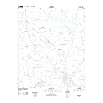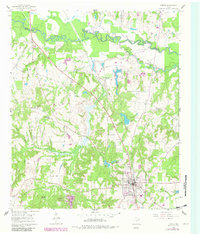
1960 Map of Lindale
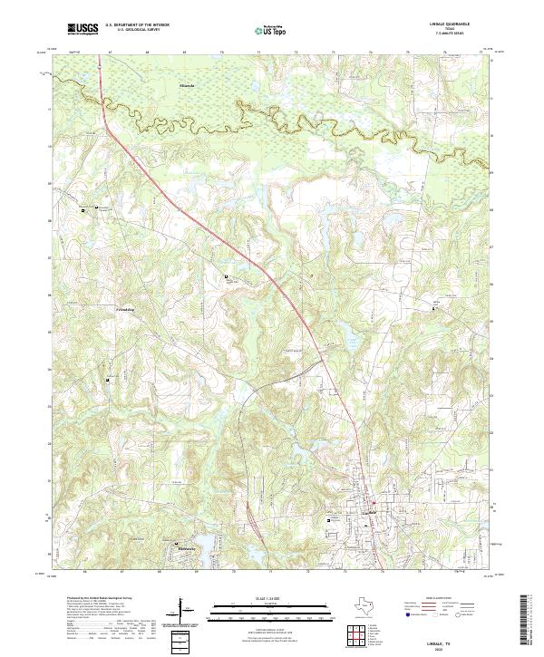
USGS Topo · Published 1982About this map
Lindale serves as the central hub of this East Texas survey, where the Missouri Pacific railroad intersects with a landscape defined by the winding Sabine River along the northern border. The terrain is characterized by numerous seasonal branches and creeks, including Duck Creek and Winding Branch, which feed into larger water bodies like Lindale Club Lake and the Old Sabine River Channel. Cultural and social life is anchored by a dense network of country churches and schools, such as Bragg Morris High Sch and Harris Chapel, reflecting the rural community structure of the mid-twentieth century.
Find a feature on this map
38 named features on this map. Tap any name to fly to it.
Don’t see what you’re looking for? This feature index may not catch every label — zoom into the map to look around manually.
Map Details
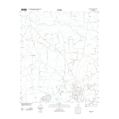
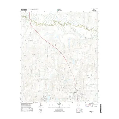
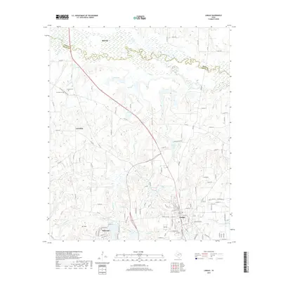
Editions of this 1960 Lindale Map
Historical Maps of Lindale Through Time
6 maps found