Loading...
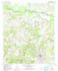
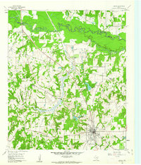
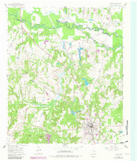
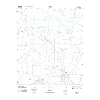
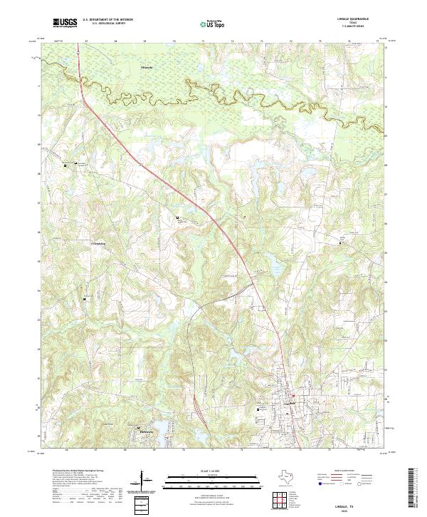
Loading map...1960 Map of Lindale
USGS Topo · Published 1991About this map
The town of Lindale serves as the focal point for this survey of northeast Smith County, Texas, depicting the region as it transitioned through the mid-20th century. The landscape is defined by the winding course of the Sabine River and the Old Sabine River Channel to the north, which form the boundary with Wood County. The local economy and social structure are reflected in the numerous rural institutions scattered throughout the timbered hills, including Harris Chapel, Friendship Ch, and Walnut Springs Ch.
Find a feature on this map
38 named features on this map. Tap any name to fly to it.
Don’t see what you’re looking for? This feature index may not catch every label — zoom into the map to look around manually.
Map Details
Date Portrayed1960
Date Published1991
PublisherU.S. Geological Survey
Map TypeTopographic
Scale1:24,000
Physical Dimensions22 x 26.9 inches
Editions of this 1960 Lindale Map
Historical Maps of Lindale Through Time
6 maps found
Featured Locations
Source Details
SourceU.S. Geological Survey
CopyrightPublic Domain