
1959 Map of Grand Saline
USGS Topo · Published 1960About this map
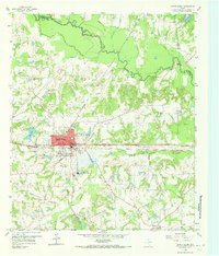
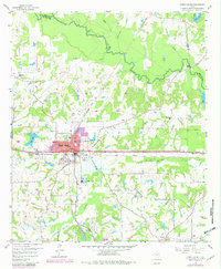
The industrial and agricultural rhythms of Van Zandt County are captured here, centered on the salt-rich landscape of Grand Saline. The town is dominated by the Morton Mine, a major landmark of the local salt industry, situated adjacent to the Texas and Pacific railroad tracks that bisect the quadrangle. Transport history is etched into the terrain through the Veterans World War II Highway and the older Old Railroad Grade winding through the northern woods.
Find a feature on this map
35 named features on this map. Tap any name to fly to it.
Don’t see what you’re looking for? This feature index may not catch every label — zoom into the map to look around manually.
Map Details
Editions of this 1959 Grand Saline Map
Other maps of this area

1956 · Tyler
USGS Topo · 1:250,000

1956 · Emory
USGS Topo · 1:62,500

1958 · Alba
USGS Topo · 1:24,000

1959 · Calvary
USGS Topo · 1:24,000

1959 · Golden
USGS Topo · 1:24,000

1959 · Van
USGS Topo · 1:24,000

1959 · Van Lake
USGS Topo · 1:24,000

1959 · Grand Saline
USGS Topo · 1:62,500

1959 · Alba
USGS Topo · 1:62,500
1962 · Canton
USGS Topo · 1:24,000