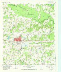
1959 Map of Grand Saline
USGS Topo · Published 1973About this map
The Sabine River defines the northern boundary of this East Texas terrain, where the economy of the late 1950s revolves around the namesake salt deposits of Grand Saline. The industrial footprint is evident at the Morton Mine and the Wells Sewage Disposal site, while the town's transport history is marked by the Texas and Pacific railroad and an Old Railroad Grade striking northwest toward the river. Local genealogy is preserved in the locations of Woodside Cem and Rodgers Cem, as well as rural landmarks like Friendship Sch and Crossroads Ch. Outside the main settlement, the map traces the convergence of Rains, Wood, and Van Zandt counties. At Collins Ferry on the Sabine, the transition from old river crossings to modern infrastructure like the Veterans World War II Highway is clearly visible.
Find a feature on this map
33 named features on this map. Tap any name to fly to it.
Don’t see what you’re looking for? This feature index may not catch every label — zoom into the map to look around manually.
Map Details
Editions of this 1959 Grand Saline Map
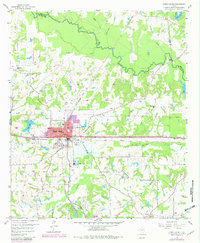
Other maps of this area

1956 · Tyler
USGS Topo · 1:250,000

1956 · Emory
USGS Topo · 1:62,500

1958 · Alba
USGS Topo · 1:24,000

1959 · Calvary
USGS Topo · 1:24,000

1959 · Golden
USGS Topo · 1:24,000

1959 · Grand Saline
USGS Topo · 1:24,000

1959 · Van
USGS Topo · 1:24,000

1959 · Van Lake
USGS Topo · 1:24,000

1959 · Grand Saline
USGS Topo · 1:62,500

1959 · Alba
USGS Topo · 1:62,500