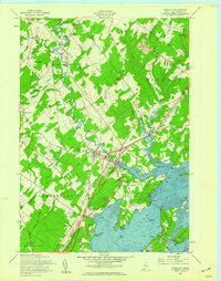
1957 Map of Yarmouth
USGS Topo · Published 1959About this map
Yarmouth serves as a central hub in the late 1950s where the Royal River meets the complex inlets of Casco Bay. The landscape is defined by the intersection of the Maine Central Railroad and the Canadian National Railway, creating significant transport nodes at Yarmouth Junction and Royal Junction. To the south, residential patterns are visible along the coast at Cumberland Foreside and Wildwood Park, while the interior remains a mix of woodland and family-named landmarks like Crockett Corner and Wescutogo Hill.
Find a feature on this map
70 named features on this map. Tap any name to fly to it.
Don’t see what you’re looking for? This feature index may not catch every label — zoom into the map to look around manually.
Map Details
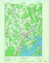
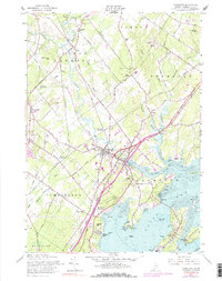
Editions of this 1957 Yarmouth Map
3 editions found
Other maps of this area

1891 · Portland
USGS Topo · 1:62,500

1892 · Freeport
USGS Topo · 1:62,500

1893 · Portland
USGS Topo · 1:62,500

1893 · Casco Bay
USGS Topo · 1:62,500

1894 · Gray
USGS Topo · 1:62,500

1898 · Gray
USGS Topo · 1:62,500

1914 · Portland
USGS Topo · 1:48,000

1914 · Casco Bay
USGS Topo · 1:48,000

1916 · Portland
USGS Topo · 1:62,500

1916 · Casco Bay
USGS Topo · 1:62,500