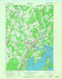
1957 Map of Yarmouth
USGS Topo · Published 1971About this map
The Royal River snakes through this coastal landscape, serving as a focal point for settlement and industry where the Grand Trunk Railroad and Maine Central Railroad intersect at Yarmouth Junction. The 1957 revisions to this survey highlight a community in transition, capturing the coastal sprawl near Cumberland Foreside and the development of the Maine Turnpike. Inland, the curious Desert of Maine stands out among the wooded hills and farmsteads.
Find a feature on this map
91 named features on this map. Tap any name to fly to it.
Don’t see what you’re looking for? This feature index may not catch every label — zoom into the map to look around manually.
Map Details
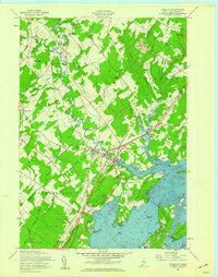
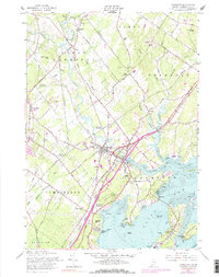
Editions of this 1957 Yarmouth Map
3 editions found
Other maps of this area

1891 · Portland
USGS Topo · 1:62,500

1892 · Freeport
USGS Topo · 1:62,500

1893 · Portland
USGS Topo · 1:62,500

1893 · Casco Bay
USGS Topo · 1:62,500

1894 · Gray
USGS Topo · 1:62,500

1898 · Gray
USGS Topo · 1:62,500

1914 · Portland
USGS Topo · 1:48,000

1914 · Casco Bay
USGS Topo · 1:48,000

1916 · Portland
USGS Topo · 1:62,500

1916 · Casco Bay
USGS Topo · 1:62,500