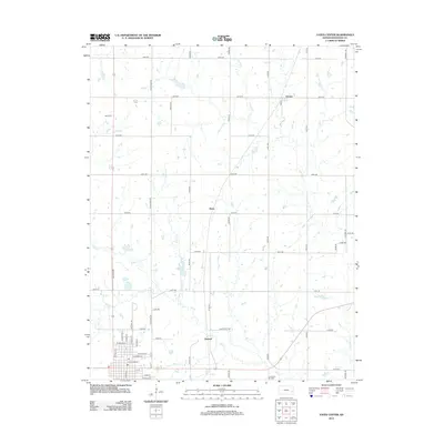
2012 Map of Yates Center
USGS Topo · Published 2012About this map
The agricultural and energy-producing landscape of central Kansas is documented here in the early 21st century. The map is anchored by the community of Durand, where a network of town streets like E Madison St and E Kansas St meet the surrounding countryside. This region is defined by its grid-based infrastructure, with numbered routes like 150th Rd and 110th Rd connecting small settlements including Vernon and Hasty.
Find a feature on this map
51 named features on this map. Tap any name to fly to it.
Don’t see what you’re looking for? This feature index may not catch every label — zoom into the map to look around manually.
Map Details
Editions of this 2012 Yates Center Map
This is the sole edition of this map. No revisions or reprints were ever made.
Other maps of this area

1885 · Burlington
USGS Topo · 1:125,000

1886 · Fredonia
USGS Topo · 1:125,000

1894 · Fredonia
USGS Topo · 1:125,000

1894 · Burlington
USGS Topo · 1:125,000

1947 · Lawrence
USGS Topo · 1:250,000

1947 · Joplin
USGS Topo · 1:250,000

1949 · Joplin
USGS Topo · 1:250,000

1950 · Lawrence
USGS Topo · 1:250,000

1954 · Joplin
USGS Topo · 1:250,000

1956 · Lawrence
USGS Topo · 1:250,000