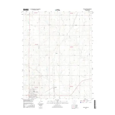
2015 Map of Yates Center
USGS Topo · Published 2015About this map
Yates Center serves as the primary hub of this Woodson County landscape, showing a dense grid of streets including E Madison St and S Main St. The surrounding countryside is defined by its drainages, where the appropriately named School Creek and Bloody Run carve through the agricultural terrain. Small rural crossroads and rail-adjacent points like Durand and Hasty offer localized points of interest for those studying the distribution of early 21st-century settlements. To the northwest, the Dutro Cem provides a specific site of genealogical interest. The map captures a transition where the urban organization of the county seat meets the expansive network of range roads and creeks, including North Owl Creek and Cherry Creek, illustrating the enduring spatial layout of eastern Kansas.
Find a feature on this map
61 named features on this map. Tap any name to fly to it.
Don’t see what you’re looking for? This feature index may not catch every label — zoom into the map to look around manually.
Map Details
Editions of this 2015 Yates Center Map
This is the sole edition of this map. No revisions or reprints were ever made.
Other maps of this area

1885 · Burlington
USGS Topo · 1:125,000

1886 · Fredonia
USGS Topo · 1:125,000

1894 · Fredonia
USGS Topo · 1:125,000

1894 · Burlington
USGS Topo · 1:125,000

1947 · Lawrence
USGS Topo · 1:250,000

1947 · Joplin
USGS Topo · 1:250,000

1949 · Joplin
USGS Topo · 1:250,000

1950 · Lawrence
USGS Topo · 1:250,000

1954 · Joplin
USGS Topo · 1:250,000

1956 · Lawrence
USGS Topo · 1:250,000