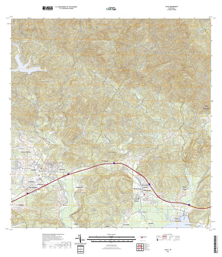
2024 Map of Yauco
USGS Topo · Published 2024About this map
The Río Yauco valley forms a central corridor of development in this southern Puerto Rican landscape, where the town of Yauco meets the coastal plains of Guayanilla. This modern survey reveals a dense network of neighborhoods and industrial sites, including Central Rufina and the educational hub at the Universidad Ana G Mendez. Local history is anchored by sites like the Viejo Cementerio Municipal De Yauco and Cementerio Blanco, while the transition from urban centers to the northern peaks is marked by landmarks like Pico Rodadero and Piedra de la Mula. The coastal area around Playa de Guayanilla and Punta Pepillo illustrates the region's enduring maritime and industrial connection, as numerous streams like Quebrada Berrenchín drain from the high ridges of Montes de Barina toward the Caribbean.
Find a feature on this map
83 named features on this map. Tap any name to fly to it.
Don’t see what you’re looking for? This feature index may not catch every label — zoom into the map to look around manually.
Map Details
Editions of this 2024 Yauco Map
This is the sole edition of this map. No revisions or reprints were ever made.
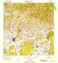
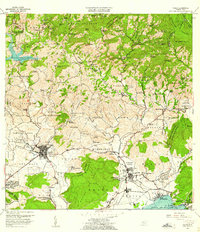
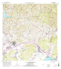
Historical Maps of Rufina Through Time
5 maps found

Featured Locations
- Guayanilla, Guayanilla
- Sector El Hoyo, Guayanilla
- Vistas del Rodadero, Yauco
- Yauco, Yauco
- Sector E1, Yauco