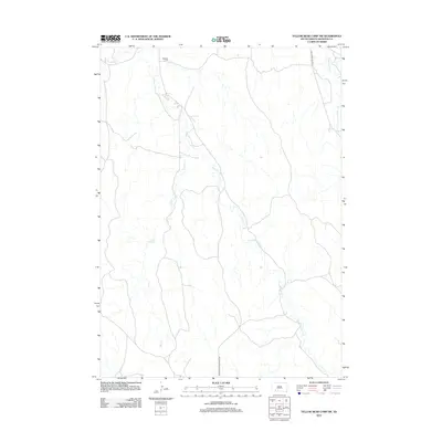
2012 Map of Yellow Bear Camp SW
USGS Topo · Published 2012About this map
Mediator Cem stands as a primary point of historical interest in this northern Shannon County landscape, situated near the headwaters of the regional drainage system. The terrain is defined by the winding paths of American Horse Cr and its tributaries, which dictate the placement of local infrastructure. Transportation in this early 21st-century survey is sparse, anchored by American Horse Creek Rd and Last Horse Spur Rd, reflecting a rural area where life remains closely tied to the watercourses. The map provides a clear view of the hydrological network, including Threemile Cr, Gay Cr, and Medicine Root Cr, offering genealogists and local historians a precise record of the land as it appeared in 2012.
Find a feature on this map
7 named features on this map. Tap any name to fly to it.
Don’t see what you’re looking for? This feature index may not catch every label — zoom into the map to look around manually.
Map Details
Editions of this 2012 Yellow Bear Camp SW Map
This is the sole edition of this map. No revisions or reprints were ever made.
Other maps of this area

1955 · Hot Springs
USGS Topo · 1:250,000

1967 · Wounded Knee
USGS Topo · 1:24,000

1981 · Yellow Bear Camp
USGS Topo · 1:25,000

1981 · Kyle
USGS Topo · 1:25,000

1981 · Evergreen
USGS Topo · 1:25,000
1981 · Batesland
USGS Topo · 1:25,000

1981 · Evergreen NE
USGS Topo · 1:24,000

1985 · Pine Ridge
USGS Topo · 1:100,000
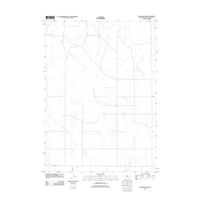
2012 · Batesland NW
USGS Topo · 1:24,000
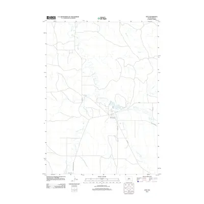
2012 · Kyle
USGS Topo · 1:24,000