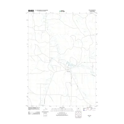
2012 Map of Kyle
USGS Topo · Published 2012About this map
Medicine Root Cr meanders through this portion of the Pine Ridge Reservation, serving as a primary drainage for a landscape defined by its creek valleys and plateaus. The road network reflects local connectivity and cultural history, anchored by Kyle Village Rd and the significant Big Foot Trl in the southern reaches. The geography is heavily influenced by water systems including American Horse Cr, No Flesh Cr, and Mud Cr, which dictate the placement of local routes like American Horse Creek Rd and Old No Flesh Rd. This 2012 survey captures the modern infrastructure of the area, showing the layout of Bureau of Indian Affairs routes such as BIA Rd and BIA Rd 39 as they provide access across the varied terrain.
Find a feature on this map
13 named features on this map. Tap any name to fly to it.
Don’t see what you’re looking for? This feature index may not catch every label — zoom into the map to look around manually.
Map Details
Editions of this 2012 Kyle Map
This is the sole edition of this map. No revisions or reprints were ever made.
Other maps of this area

1950 · Conata SW
USGS Topo · 1:24,000

1950 · Imlay SE
USGS Topo · 1:24,000

1952 · Conata SE
USGS Topo · 1:24,000

1955 · Hot Springs
USGS Topo · 1:250,000

1981 · Wall
USGS Topo · 1:100,000

1981 · Yellow Bear Camp
USGS Topo · 1:25,000

1981 · Kyle
USGS Topo · 1:25,000

1981 · Evergreen
USGS Topo · 1:25,000

1981 · Evergreen NE
USGS Topo · 1:24,000

1985 · Pine Ridge
USGS Topo · 1:100,000