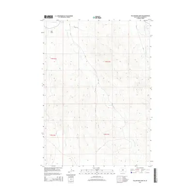
2015 Map of Yellow Bear Camp SW
USGS Topo · Published 2015About this map
Oglala Lakota College stands in the northwestern corner of this landscape, marking a center of education and community on the Pine Ridge Reservation. The area is defined by the branching drainages of American Horse Creek and Medicine Root Creek, which carve through the high plains. Cultural landmarks such as the Mediator Cem are situated near tribal roads including Bia 27 and Bia 17. The map illustrates a modern infrastructure of Bureau of Indian Affairs routes, such as Bia 40, which follow the natural contours of the land around Threemile Creek. This survey captures the rural character of Shannon County in the mid-2010s, where the placement of small cemeteries and local institutions like the college reflect the spatial organization of the Oglala Lakota people.
Find a feature on this map
15 named features on this map. Tap any name to fly to it.
Don’t see what you’re looking for? This feature index may not catch every label — zoom into the map to look around manually.
Map Details
Editions of this 2015 Yellow Bear Camp SW Map
This is the sole edition of this map. No revisions or reprints were ever made.
Other maps of this area

1955 · Hot Springs
USGS Topo · 1:250,000

1967 · Wounded Knee
USGS Topo · 1:24,000

1981 · Yellow Bear Camp
USGS Topo · 1:25,000

1981 · Kyle
USGS Topo · 1:25,000

1981 · Evergreen
USGS Topo · 1:25,000
1981 · Batesland
USGS Topo · 1:25,000

1981 · Evergreen NE
USGS Topo · 1:24,000

1985 · Pine Ridge
USGS Topo · 1:100,000
2012 · Batesland NW
USGS Topo · 1:24,000
2012 · Kyle
USGS Topo · 1:24,000