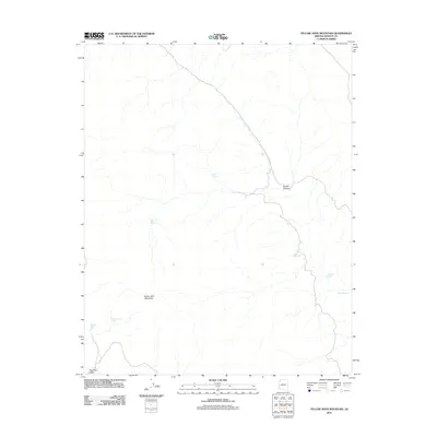
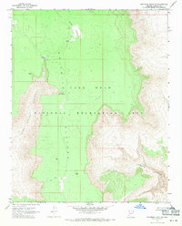
2011 Map of Yellow John Mountain
USGS Topo · Published 2011About this map
Yellow John Mountain serves as the primary landmark in this section of Mohave County, where the high desert landscape is defined by its scarce but vital water sources. The 2011 survey documents a network of natural springs and man-made catchments essential for ranching and wildlife in the arid environment. Notable water points include Mud Spring, Dansil Spring, and Dripping Spring, which are scattered among the drainages. The topography is further characterized by the broad reach of Pleasant Valley and the steep relief of Dansill Canyon. This map details a remote landscape where the distribution of features like Playboy Tank and Pleasant Valley Tank suggests the continued importance of range management and livestock support in the modern era.
Find a feature on this map
10 named features on this map. Tap any name to fly to it.
Don’t see what you’re looking for? This feature index may not catch every label — zoom into the map to look around manually.
Map Details
Editions of this 2011 Yellow John Mountain Map
This is the sole edition of this map. No revisions or reprints were ever made.
Other maps of this area

1886 · Mt. Trumbull
USGS Topo · 1:250,000

1892 · Mt. Trumbull
USGS Topo · 1:250,000

1953 · Grand Canyon
USGS Topo · 1:250,000

1957 · Grand Canyon
USGS Topo · 1:250,000

1958 · Grand Canyon
USGS Topo · 1:250,000

1960 · Grand Canyon
USGS Topo · 1:250,000
1967 · Yellow John Mtn.
USGS Topo · 1:24,000
1967 · Whitmore Point SE
USGS Topo · 1:24,000
1967 · Whitmore Point
USGS Topo · 1:24,000
1967 · Whitmore Point SW
USGS Topo · 1:24,000