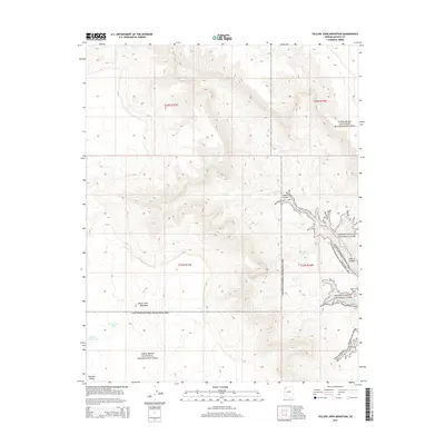
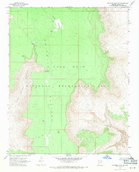
2014 Map of Yellow John Mountain
USGS Topo · Published 2014About this map
Yellow John Mountain rises as a prominent landmark in this remote section of Mohave County, where the high desert plateau meets the deep incisions of the Colorado River drainage system. The terrain is defined by dramatic elevation changes, characterized by the winding descent of Dansil Canyon and Andrus Canyon toward the eastern boundary. This area is a critical junction of federal lands, showing the overlapping management of the Lake Mead National Recreation Area and the western reaches of Grand Canyon National Park.
Find a feature on this map
17 named features on this map. Tap any name to fly to it.
Don’t see what you’re looking for? This feature index may not catch every label — zoom into the map to look around manually.
Map Details
Editions of this 2014 Yellow John Mountain Map
This is the sole edition of this map. No revisions or reprints were ever made.
Other maps of this area

1886 · Mt. Trumbull
USGS Topo · 1:250,000

1892 · Mt. Trumbull
USGS Topo · 1:250,000

1953 · Grand Canyon
USGS Topo · 1:250,000

1957 · Grand Canyon
USGS Topo · 1:250,000

1958 · Grand Canyon
USGS Topo · 1:250,000

1960 · Grand Canyon
USGS Topo · 1:250,000
1967 · Yellow John Mtn.
USGS Topo · 1:24,000
1967 · Whitmore Point SE
USGS Topo · 1:24,000
1967 · Whitmore Point
USGS Topo · 1:24,000
1967 · Whitmore Point SW
USGS Topo · 1:24,000