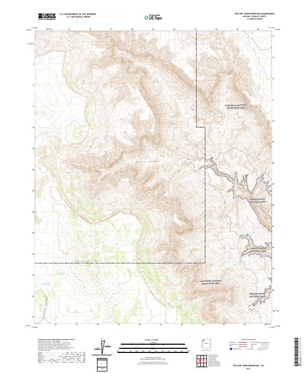
2021 Map of Yellow John Mountain
USGS Topo · Published 2021About this map
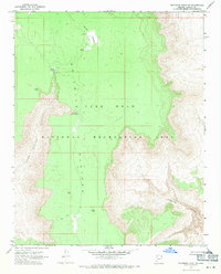
Yellow John Mtn rises as a prominent landmark in this corner of Mohave County, where the high desert terrain transitions toward the dramatic breaks of the Grand Canyon. The 2021 survey reveals a landscape defined by its limited water sources, where named features such as Mud Spring, Dansil Spring, and Dripping Spring provided vital points of orientation for cattlemen and travelers. These natural springs and man-made catchments like Horseshoe Tank and Pleasant Valley Tank illustrate the historical reliance on isolated water improvements to sustain life in this arid region.
Find a feature on this map
16 named features on this map. Tap any name to fly to it.
Don’t see what you’re looking for? This feature index may not catch every label — zoom into the map to look around manually.
Map Details
Editions of this 2021 Yellow John Mountain Map
This is the sole edition of this map. No revisions or reprints were ever made.
Other maps of this area

1886 · Mt. Trumbull
USGS Topo · 1:250,000

1892 · Mt. Trumbull
USGS Topo · 1:250,000

1953 · Grand Canyon
USGS Topo · 1:250,000

1957 · Grand Canyon
USGS Topo · 1:250,000

1958 · Grand Canyon
USGS Topo · 1:250,000

1960 · Grand Canyon
USGS Topo · 1:250,000
1967 · Yellow John Mtn.
USGS Topo · 1:24,000
1967 · Whitmore Point SE
USGS Topo · 1:24,000
1967 · Whitmore Point
USGS Topo · 1:24,000
1967 · Whitmore Point SW
USGS Topo · 1:24,000