Loading...
Loading map...2023 Map of Yellow Springs
USGS Topo · Published 2023About this map
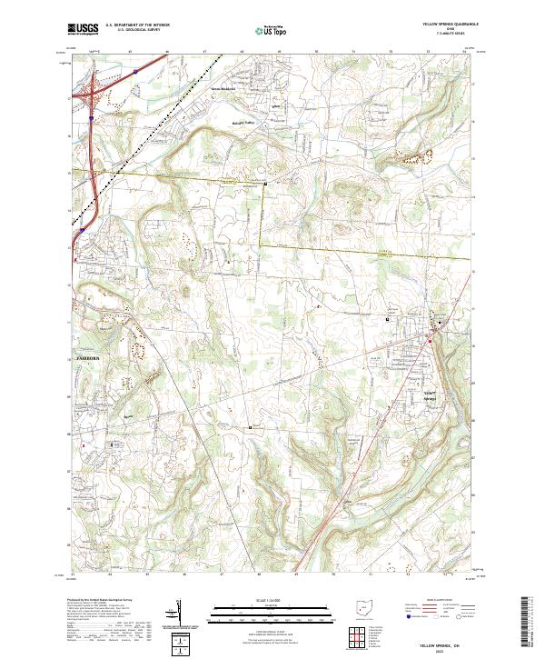
Antioch College serves as a prominent landmark within the village of Yellow Springs in this recent Greene County survey. The landscape is defined by the convergence of several waterways, including the Little Miami River, Yellow Springs Creek, and Jacoby Branch, which carve through the terrain south of Enon. The map documents a blend of established residential areas like Holiday Valley and Green Meadows alongside more rural stretches near Byron and Goes.
Find a feature on this map
158 named features on this map. Tap any name to fly to it.
Don’t see what you’re looking for? This feature index may not catch every label — zoom into the map to look around manually.
Map Details
Date Portrayed2023
Date Published2023
PublisherU.S. Geological Survey
Map TypeTopographic
Scale1:24000
Physical Dimensions24 x 29 inches
Editions of this 2023 Yellow Springs Map
This is the sole edition of this map. No revisions or reprints were ever made.
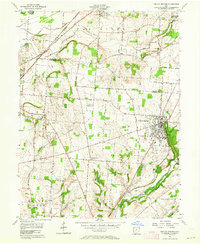
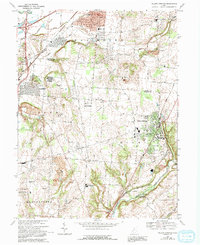
Historical Maps of Xenia Township Through Time
3 maps found
Featured Locations
Source Details
SourceU.S. Geological Survey
CopyrightPublic Domain