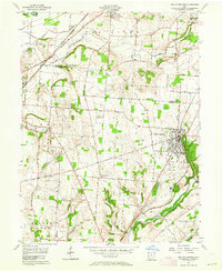
1955 Map of Yellow Springs
USGS Topo · Published 1964About this map
The village of Yellow Springs and the grounds of Antioch College anchor the eastern half of this Greene County landscape during the mid-1950s. The area is defined by the sharp transition between the upland agricultural plains and the wooded incisions of the Little Miami River and Jacoby Creek. To the northwest, the Mad River corridor supports a concentrated network of transportation, including the New York Central RR and Erie RR lines passing through Enon.
Find a feature on this map
68 named features on this map. Tap any name to fly to it.
Don’t see what you’re looking for? This feature index may not catch every label — zoom into the map to look around manually.
Map Details
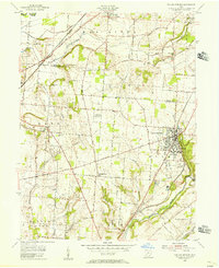
Editions of this 1955 Yellow Springs Map
2 editions found
Other maps of this area

1904 · Springfield
USGS Topo · 1:62,500

1904 · Dayton
USGS Topo · 1:62,500

1906 · Dayton
USGS Topo · 1:62,500

1906 · Springfield
USGS Topo · 1:62,500

1913 · Waynesville
USGS Topo · 1:62,500

1915 · Waynesville
USGS Topo · 1:62,500

1917 · Xenia
USGS Topo · 1:62,500

1947 · Columbus
USGS Topo · 1:250,000

1953 · Cincinnati
USGS Topo · 1:250,000

1954 · Clifton
USGS Topo · 1:24,000