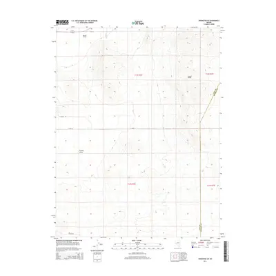
2014 Map of Yerington NE
USGS Topo · Published 2014About this map
Mason Valley defines the western edge of this Nevada landscape, where the flat valley floor meets the rising terrain of the Wassuk Range to the east. This 2014 survey documents a rural environment structured by the Public Land Survey System, with township and range lines neatly partitioning the desert floor. The map highlights the transition from the irrigated agricultural reaches of the valley into the more arid stretches of Pumpkin Hollow. Local transport is represented by a network of established roads including E Walker Rd, E Pursel Ln, and E Cremetti Ln, which service the scattered developments at the base of the mountains. The boundary between Lyon and Mineral Counties cuts across the southeastern corner, marking the divide between these two Nevada jurisdictions amidst a landscape primarily characterized by its vast open basins and high desert peaks.
Find a feature on this map
13 named features on this map. Tap any name to fly to it.
Don’t see what you’re looking for? This feature index may not catch every label — zoom into the map to look around manually.
Map Details
Editions of this 2014 Yerington NE Map
This is the sole edition of this map. No revisions or reprints were ever made.
Other maps of this area

1891 · Wabuska
USGS Topo · 1:125,000

1891 · Wellington
USGS Topo · 1:125,000

1893 · Wellington
USGS Topo · 1:125,000

1894 · Wabuska
USGS Topo · 1:125,000

1908 · Carson Sink
USGS Topo · 1:250,000

1909 · Hawthorne
USGS Topo · 1:250,000

1910 · Carson Sink
USGS Topo · 1:250,000

1911 · Hawthorne
USGS Topo · 1:250,000

1915 · Hawthorne
USGS Topo · 1:250,000

1948 · Walker Lake
USGS Topo · 1:250,000