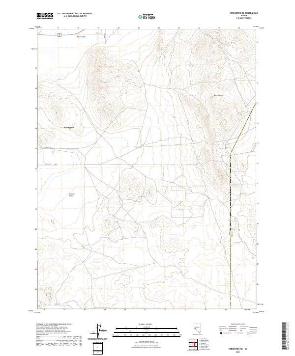
2021 Map of Yerington NE
USGS Topo · Published 2021About this map
Mason Valley occupies the northwest portion of this area, where the flat valley floor meets the rising elevations of the Wassuk Range to the east. The city of Yerington sits at the edge of this transition, serving as a hub for the surrounding agricultural and mining landscape of Lyon County. The layout of the region is defined by a rectangular grid of local roads, including E Cremetti Ln and E Pursel Ln, which support the rural parcels typical of this part of Nevada. South of the city, the land dips into Pumpkin Hollow, a distinct geographic depression before the terrain climbs toward the Mineral County line. This 2021 update from the U.S. Geological Survey shows the continued persistence of these valley settlements and the network of local access roads like E Walker Rd that tie the high desert flats to the mountain foothills.
Find a feature on this map
14 named features on this map. Tap any name to fly to it.
Don’t see what you’re looking for? This feature index may not catch every label — zoom into the map to look around manually.
Map Details
Editions of this 2021 Yerington NE Map
This is the sole edition of this map. No revisions or reprints were ever made.
Other maps of this area

1891 · Wabuska
USGS Topo · 1:125,000

1891 · Wellington
USGS Topo · 1:125,000

1893 · Wellington
USGS Topo · 1:125,000

1894 · Wabuska
USGS Topo · 1:125,000

1908 · Carson Sink
USGS Topo · 1:250,000

1909 · Hawthorne
USGS Topo · 1:250,000

1910 · Carson Sink
USGS Topo · 1:250,000

1911 · Hawthorne
USGS Topo · 1:250,000

1915 · Hawthorne
USGS Topo · 1:250,000

1948 · Walker Lake
USGS Topo · 1:250,000