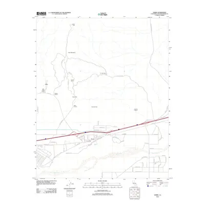
2012 Map of Yermo
USGS Topo · Published 2012About this map
Calico and the surrounding Calico Mountains dominate this Mojave Desert landscape in San Bernardino County. The area is defined by a network of steep canyons and unique geological formations, including Wall Street Canyon, Odessa Canyon, and the notable Kramer Arch. A sense of local history is immediate through labels like Ghost Town Rd leading toward the old mining district, while the presence of Doran Scenic Dr and Phillips Dr shows how the terrain has been navigated in modern years.
Find a feature on this map
63 named features on this map. Tap any name to fly to it.
Don’t see what you’re looking for? This feature index may not catch every label — zoom into the map to look around manually.
Map Details
Editions of this 2012 Yermo Map
This is the sole edition of this map. No revisions or reprints were ever made.
Other maps of this area

1933 · Avawatz Mountains
USGS Topo · 1:250,000

1947 · Trona
USGS Topo · 1:250,000

1948 · Trona
USGS Topo · 1:250,000

1948 · Alvord Mountain
USGS Topo · 1:62,500

1948 · Lane Mountain
USGS Topo · 1:62,500

1951 · Alvord Mountain
USGS Topo · 1:62,500

1951 · Lane Mountain
USGS Topo · 1:62,500

1953 · San Bernardino
USGS Topo · 1:250,000

1953 · Yermo
USGS Topo · 1:24,000

1953 · Trona
USGS Topo · 1:250,000