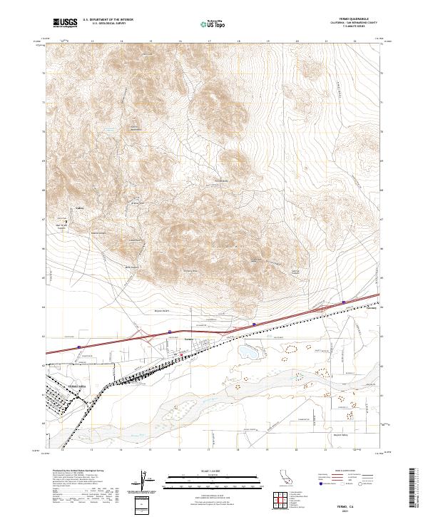
2021 Map of Yermo
USGS Topo · Published 2021About this map
Calico and the Calico Mountains dominate the northern portion of this landscape, where the terrain is marked by intricate formations like Kramer Arch and deep cuts including Odessa Canyon and Wall Street Canyon. This area, famously associated with silver mining history, includes the Calico Cem and various named landmarks such as Camp Rock and Chimney Rock. To the south, the settlement of Yermo serves as a hub between the high desert peaks and the Mojave River basin.
Find a feature on this map
75 named features on this map. Tap any name to fly to it.
Don’t see what you’re looking for? This feature index may not catch every label — zoom into the map to look around manually.
Map Details
Editions of this 2021 Yermo Map
This is the sole edition of this map. No revisions or reprints were ever made.
Other maps of this area

1933 · Avawatz Mountains
USGS Topo · 1:250,000

1947 · Trona
USGS Topo · 1:250,000

1948 · Trona
USGS Topo · 1:250,000

1948 · Alvord Mountain
USGS Topo · 1:62,500

1948 · Lane Mountain
USGS Topo · 1:62,500

1951 · Alvord Mountain
USGS Topo · 1:62,500

1951 · Lane Mountain
USGS Topo · 1:62,500

1953 · San Bernardino
USGS Topo · 1:250,000

1953 · Yermo
USGS Topo · 1:24,000

1953 · Trona
USGS Topo · 1:250,000