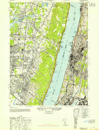
1947 Map of Yonkers
USGS Topo · Published 1947About this map
The Hudson River serves as the central divide between the steep palisades of New Jersey and the dense industrial and residential corridors of New York in the late 1940s. On the western bank, the Palisades Interstate Park dominates the riverfront, hiding recreational landmarks like Canoe Beach and Huylers Beach beneath the cliffs. The plateau above is dotted with established Bergen County boroughs such as Alpine, Tenafly, and Englewood, where the Northern Railroad of New Jersey shaped the suburban development. A notable historic site, the Camp Merritt Mem Monument, stands near Dumont as a reminder of the area's significance as a World War I embarkation camp.
Find a feature on this map
107 named features on this map. Tap any name to fly to it.
Don’t see what you’re looking for? This feature index may not catch every label — zoom into the map to look around manually.
Map Details
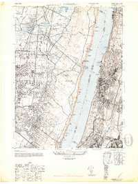
Editions of this 1947 Yonkers Map
2 editions found
Other maps of this area

1888 · Paterson
USGS Topo · 1:62,500

1891 · Ramapo
USGS Topo · 1:62,500

1891 · Harlem
USGS Topo · 1:62,500

1892 · Paterson
USGS Topo · 1:62,500

1892 · Tarrytown
USGS Topo · 1:62,500

1893 · Tarrytown
USGS Topo · 1:62,500

1893 · Ramapo
USGS Topo · 1:62,500

1897 · Harlem
USGS Topo · 1:62,500

1898 · Harlem
USGS Topo · 1:62,500

1898 · Paterson
USGS Topo · 1:62,500