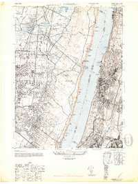
1947 Map of Yonkers
USGS Topo · Published 1947About this map
The Hudson River serves as the central divide in this immediate post-war landscape, separating the dense urban development of Yonkers and the Bronx from the sprawling estates and developing boroughs of Bergen County. This era captures the transition of the Palisades from a rugged riverfront to a managed recreational corridor, evidenced by the Palisades Park Commissioners Office and various riverfront landings like Huylers Dock. On the New Jersey side, early industrial and transit hubs like the Bronze Powder Works and the Airplane Landing Field near Norwood sit alongside significant residential growth in Tenafly and Englewood.
Find a feature on this map
97 named features on this map. Tap any name to fly to it.
Don’t see what you’re looking for? This feature index may not catch every label — zoom into the map to look around manually.
Map Details
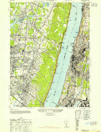
Editions of this 1947 Yonkers Map
2 editions found
Other maps of this area

1888 · Paterson
USGS Topo · 1:62,500

1891 · Ramapo
USGS Topo · 1:62,500

1891 · Harlem
USGS Topo · 1:62,500

1892 · Paterson
USGS Topo · 1:62,500

1892 · Tarrytown
USGS Topo · 1:62,500

1893 · Tarrytown
USGS Topo · 1:62,500

1893 · Ramapo
USGS Topo · 1:62,500

1897 · Harlem
USGS Topo · 1:62,500

1898 · Harlem
USGS Topo · 1:62,500

1898 · Paterson
USGS Topo · 1:62,500