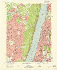
1956 Map of Yonkers
USGS Topo · Published 1958About this map
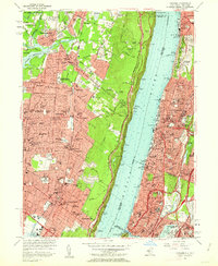
Yonkers and its surrounding suburbs along the Hudson River appear in transition during the mid-1950s, as the development of the Palisades Interstate Parkway and New York State Thruway begins to redefine the regional landscape. On the western bank, New Jersey communities like Tenafly, Cresskill, and Englewood are shown with their maturing street grids and numerous local schools such as Dwight Sch and Morrow High Sch. The massive Oradell Reservoir dominates the northwest, while the sheer cliffs of the Palisades drop toward several historic river landings including Huyler Landing and Twombly Landing. Across the water in the Bronx and Westchester, dense urban development is anchored by Van Cortlandt Park and established institutions like Manhattan College and the College of Mt St Vincent. This survey documents a critical era when the Erie RR and New York Central RR still served as primary transit corridors alongside the rising expressway network.
Find a feature on this map
117 named features on this map. Tap any name to fly to it.
Don’t see what you’re looking for? This feature index may not catch every label — zoom into the map to look around manually.
Map Details
Editions of this 1956 Yonkers Map
2 editions found
Other maps of this area

1888 · Paterson
USGS Topo · 1:62,500

1891 · Ramapo
USGS Topo · 1:62,500

1891 · Harlem
USGS Topo · 1:62,500

1892 · Paterson
USGS Topo · 1:62,500

1892 · Tarrytown
USGS Topo · 1:62,500

1893 · Tarrytown
USGS Topo · 1:62,500

1893 · Ramapo
USGS Topo · 1:62,500

1897 · Harlem
USGS Topo · 1:62,500

1898 · Harlem
USGS Topo · 1:62,500

1898 · Paterson
USGS Topo · 1:62,500