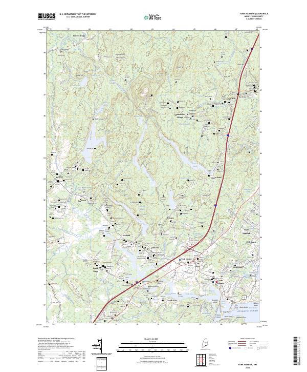
2024 Map of York Harbor
USGS Topo · Published 2024About this map
York Harbor and the surrounding Maine coast appear here in significant detail, showing a landscape defined by its historic maritime character and inland agricultural roots. The coastal settlements of York Beach and Cape Neddick contrast with the interior's network of small villages such as Brixham, Payneton, and Scotland. This 2024 survey captures the persistence of early land divisions, marking numerous family lots including the Brown Blaisdell Lot, Jellison Lot, and Preble Lot.
Find a feature on this map
252 named features on this map. Tap any name to fly to it.
Don’t see what you’re looking for? This feature index may not catch every label — zoom into the map to look around manually.
Map Details
Editions of this 2024 York Harbor Map
This is the sole edition of this map. No revisions or reprints were ever made.
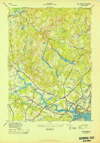
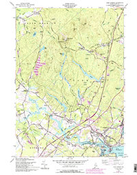
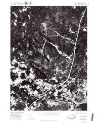
Historical Maps of York Harbor Through Time
4 maps found