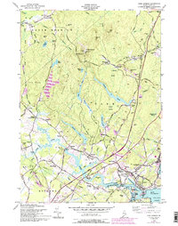
1956 Map of York Harbor
USGS Topo · Published 1994About this map
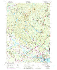
Mt Agamenticus anchors the high ground of southern Maine in this detailed coastal study, overlooking a landscape of wooded hills and interconnected ponds like Chases Pond and Folly Pond. The historic settlement patterns of the region are clearly visible, from the coastal density of York Harbor and York Village to the inland crossroads of Foristall Corners and Brixham Lower Corners. Notable local history is preserved in landmarks such as the Macintire Garrison and the Old Parish Ch, while the transition of transportation is marked by the presence of the Maine Turnpike alongside an Old Railroad Grade. The map provides a look at the tidal reaches of the York River, winding past Bragdon Island toward Lobster Cove, reflecting an economy and lifestyle shaped by the river and the sea.
Find a feature on this map
81 named features on this map. Tap any name to fly to it.
Don’t see what you’re looking for? This feature index may not catch every label — zoom into the map to look around manually.
Map Details
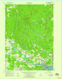
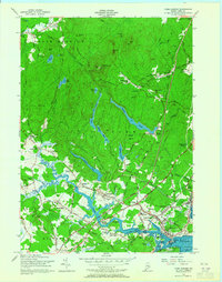
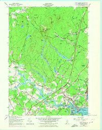
Editions of this 1956 York Harbor Map
5 editions found
Other maps of this area

1891 · Berwick
USGS Topo · 1:62,500

1891 · Kennebunk
USGS Topo · 1:62,500

1893 · Kennebunk
USGS Topo · 1:62,500

1893 · Dover
USGS Topo · 1:62,500

1893 · Berwick
USGS Topo · 1:62,500

1893 · York
USGS Topo · 1:62,500

1898 · Kennebunk
USGS Topo · 1:62,500

1916 · Dover
USGS Topo · 1:62,500

1918 · Dover
USGS Topo · 1:62,500

1920 · York
USGS Topo · 1:62,500