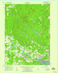
1956 Map of York Harbor
USGS Topo · Published 1958About this map
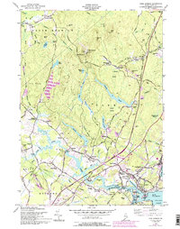
Mt Agamenticus anchors the northern high ground of this coastal Maine survey, overlooking a landscape defined by traditional village centers and the newly established Maine Turnpike. The inland terrain is marked by a series of significant water bodies, including Chases Pond, Folly Pond, and Boulter Pond, which fed the regional water systems and supported early industry at sites like Barrells Millpond. Near the coast, the long-established settlement of York Village is shown in detail, featuring the Old Gaol and the First Parish Cemetery. Small crossroads communities such as Scotland, Cider Hill, and Brixham Lower Corners are still distinct, connected by a network of winding roads like Memorial Lane and Greenleaf Lane. The map captures the southern Maine coast before more modern development, showing the transition from the forested heights of York Woods to the tidal reaches of the York River and the bustling waterfront at York Harbor.
Find a feature on this map
81 named features on this map. Tap any name to fly to it.
Don’t see what you’re looking for? This feature index may not catch every label — zoom into the map to look around manually.
Map Details
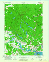
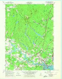
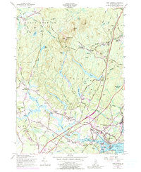
Editions of this 1956 York Harbor Map
5 editions found
Other maps of this area

1891 · Berwick
USGS Topo · 1:62,500

1891 · Kennebunk
USGS Topo · 1:62,500

1893 · Kennebunk
USGS Topo · 1:62,500

1893 · Dover
USGS Topo · 1:62,500

1893 · Berwick
USGS Topo · 1:62,500

1893 · York
USGS Topo · 1:62,500

1898 · Kennebunk
USGS Topo · 1:62,500

1916 · Dover
USGS Topo · 1:62,500

1918 · Dover
USGS Topo · 1:62,500

1920 · York
USGS Topo · 1:62,500