
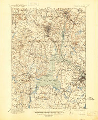
1918 Map of Dover
USGS Topo · Published 1918About this map
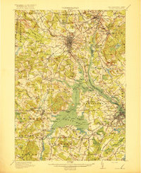
The tidal waters of Great Bay and the Piscataqua River dominate this coastal New Hampshire and Maine border region during the First World War era. The industrial and educational character of the landscape is evident, from the sprawling campus of the State College in Durham to the complex rail infrastructure of the Boston and Maine RR. The map captures a moment when local connectivity relied heavily on rural schoolhouses and railroad junctions, such as South Berwick Junction and the Greenland Village Station. Topography is defined by numerous family-named peaks like Garrison Hill and Pudding Hill, while the tidal flats of Little Bay and the winding course of the Cocheco River through Dover highlight the importance of the river systems to regional settlement. Research into early 20th-century agriculture and social services is supported by the presence of the County Farm and various numbered school districts spanning Eliot and Rollinsford.
Find a feature on this map
181 named features on this map. Tap any name to fly to it.
Don’t see what you’re looking for? This feature index may not catch every label — zoom into the map to look around manually.
Map Details
Editions of this 1918 Dover Map
6 editions found
Other maps of this area

1888 · Newburyport
USGS Topo · 1:62,500

1888 · Haverhill
USGS Topo · 1:62,500

1890 · Haverhill
USGS Topo · 1:62,500

1890 · Newburyport
USGS Topo · 1:62,500

1891 · Berwick
USGS Topo · 1:62,500

1891 · Kennebunk
USGS Topo · 1:62,500

1893 · Kennebunk
USGS Topo · 1:62,500

1893 · Dover
USGS Topo · 1:62,500

1893 · Berwick
USGS Topo · 1:62,500

1893 · York
USGS Topo · 1:62,500