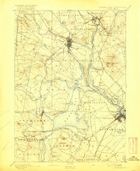
1918 Map of Dover
USGS Topo · Published 1925About this map
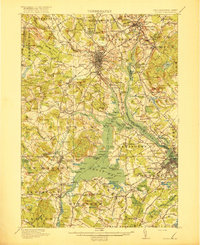
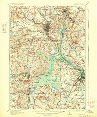
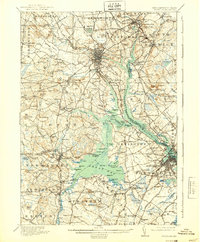
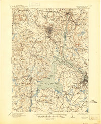
The Dover region in 1916 reveals an intricate network of coastal commerce and institutional growth where the Piscataqua River meets the expansive Great Bay. At the heart of the landscape, the State College stands as a defining landmark near Durham, while the County Farm occupies a prominent position north of the Cocheco River. The industrial and residential development of the era is evidenced by the dense rail infrastructure of the Boston and Maine Railroad and various Electric RR lines connecting Rochester, Somersworth, and Portsmouth. Beyond the urban centers, numerous rural schoolhouses like Witchtrot School and Mast Road School dot the countryside, reflecting the late 19th and early 20th-century settlement patterns. The map also highlights the complex tidal geography of Little Bay and the Squamscott River, illustrating how the waterway served as a vital artery for the surrounding towns of Newington and Stratham.
Find a feature on this map
206 named features on this map. Tap any name to fly to it.
Don’t see what you’re looking for? This feature index may not catch every label — zoom into the map to look around manually.
Map Details
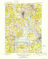
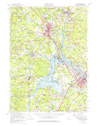
Editions of this 1918 Dover Map
6 editions found

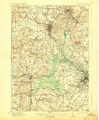
Historical Maps of Dover Through Time
5 maps found