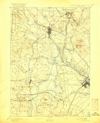
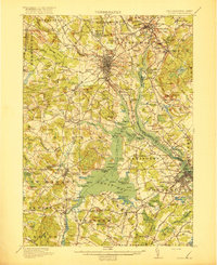
1918 Map of Dover
USGS Topo · Published 1939About this map
The Cocheco River and Piscataqua River systems converge in this early 20th-century landscape, illustrating the complex maritime and industrial geography of the New Hampshire-Maine border. At the center of this tidal environment lies Great Bay, where numerous points such as Adams Pt and Fox Pt define a jagged shoreline. The map documents the early footprint of the State College in Durham and the extensive County Farm north of Dover, reflecting the institutional growth of the region. The Boston and Maine RR network is intricately detailed, showing its role in connecting industrial hubs like Somersworth and Rochester with coastal centers. One can trace the transition from the mill-driven economy of Great Works to the naval and commercial activities surrounding Portsmouth and the Kittery Depot. Dozens of local landmarks, from the Madbury School to the Fairgrounds, provide a granular view of the social fabric before mid-century expansion.
Find a feature on this map
187 named features on this map. Tap any name to fly to it.
Don’t see what you’re looking for? This feature index may not catch every label — zoom into the map to look around manually.
Map Details
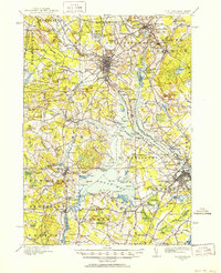
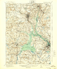
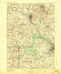
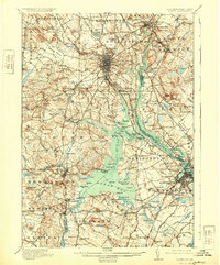
Editions of this 1918 Dover Map
6 editions found

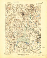
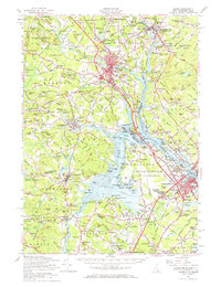
Historical Maps of Dover Through Time
5 maps found