Loading...
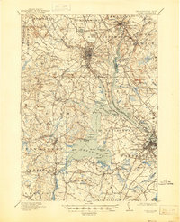
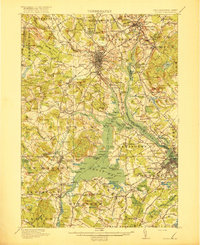
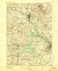
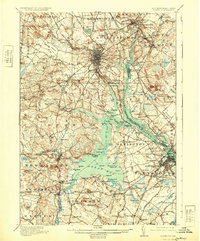
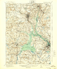
Loading map...1918 Map of Dover
USGS Topo · Published 1945About this map
The Cocheco River and Salmon Falls River converge into the Piscataqua River, defining a landscape of tidal bays and early industrial power during the First World War. Dover stands as the primary hub, surrounded by a dense network of rail lines including the Boston and Maine RR and the Portsmouth and Dover RR. Local landmarks such as the County Farm and the Granite State Park reflect the public institutions and recreational spaces of the era.
Find a feature on this map
185 named features on this map. Tap any name to fly to it.
Don’t see what you’re looking for? This feature index may not catch every label — zoom into the map to look around manually.
Map Details
Date Portrayed1918
Date Published1945
PublisherU.S. Geological Survey
Map TypeTopographic
Scale1:62,500
Physical Dimensions17 x 20.9 inches
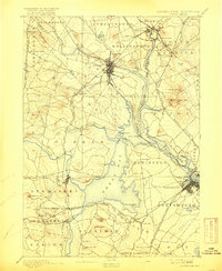
Editions of this 1918 Dover Map
6 editions found

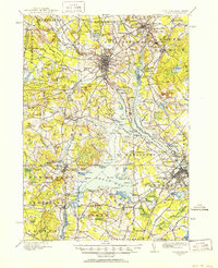
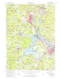
Historical Maps of Dover Through Time
5 maps found

Featured Locations
Source Details
SourceU.S. Geological Survey
CopyrightPublic Domain