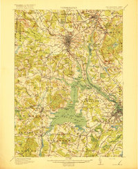
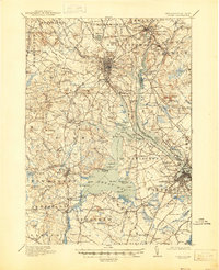
1918 Map of Dover
USGS Topo · Published 1918About this map
The Piscataqua River system dominates this coastal landscape, where the tides of Great Bay and Little Bay meet the industrious centers of southeastern New Hampshire and Maine. The survey highlights a highly developed rail and river economy during the First World War era, with the Boston and Maine Railroad connecting riverfront towns like Dover and New Market. Beyond the urban centers, the map reveals a dense network of rural infrastructure, including numerous family-named landmarks such as Demeritt Hill and Hicks Hill. Local history is preserved through the locations of the County Farm in Dover, the Fairgrounds in Portsmouth, and specialized sites like Sawyers and Cushings. Coastal points and coves, from Fox Pt to Welsh Cove, illustrate the intricate shoreline of the Oyster River and Lamprey River before modern expansion altered these waterfronts.
Find a feature on this map
176 named features on this map. Tap any name to fly to it.
Don’t see what you’re looking for? This feature index may not catch every label — zoom into the map to look around manually.
Map Details
Editions of this 1918 Dover Map
6 editions found

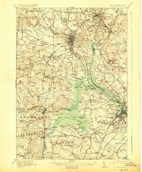
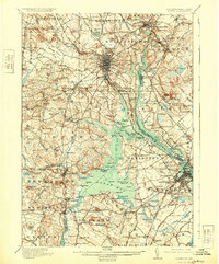
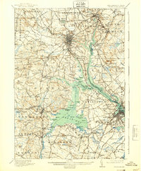
Other maps of this area

1888 · Newburyport
USGS Topo · 1:62,500

1888 · Haverhill
USGS Topo · 1:62,500

1890 · Haverhill
USGS Topo · 1:62,500

1890 · Newburyport
USGS Topo · 1:62,500

1891 · Berwick
USGS Topo · 1:62,500

1891 · Kennebunk
USGS Topo · 1:62,500

1893 · Kennebunk
USGS Topo · 1:62,500

1893 · Dover
USGS Topo · 1:62,500

1893 · Berwick
USGS Topo · 1:62,500

1893 · York
USGS Topo · 1:62,500