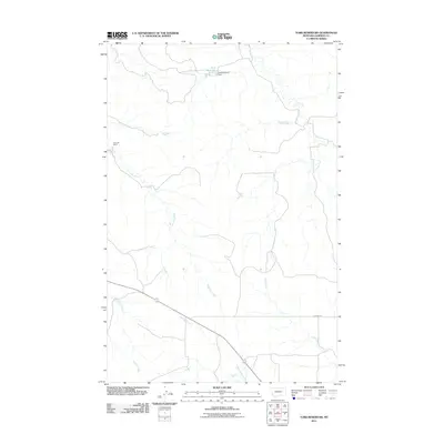
2011 Map of York Reservoir
USGS Topo · Published 2011About this map
York Reservoir and its associated York Reservoir Dam sit in the northern reaches of this Garfield County landscape, marking a vital water management point in an otherwise arid expanse. The terrain is defined by a dendritic network of drainage systems, including the southward-flowing Lone Tree Creek and the meandering Langs Fork to the east. These seasonal watercourses shape the ranching country of eastern Montana, where human activity is sparse and centered on isolated landmarks like Rimrock Ranch.
Find a feature on this map
9 named features on this map. Tap any name to fly to it.
Don’t see what you’re looking for? This feature index may not catch every label — zoom into the map to look around manually.
Map Details
Editions of this 2011 York Reservoir Map
This is the sole edition of this map. No revisions or reprints were ever made.
Other maps of this area

1954 · Jordan
USGS Topo · 1:250,000

1956 · Jordan
USGS Topo · 1:250,000

1958 · Jordan
USGS Topo · 1:250,000

1964 · Jordan
USGS Topo · 1:250,000

1964 · Jordan SE
USGS Topo · 1:24,000

1964 · Ada Creek
USGS Topo · 1:24,000

1964 · Black John Coulee
USGS Topo · 1:24,000

1965 · Cohagen
USGS Topo · 1:24,000

1965 · Kirby Ranch
USGS Topo · 1:24,000

1965 · Dice Dam
USGS Topo · 1:24,000