
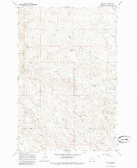
1965 Map of Dice Dam
USGS Topo · Published 1968About this map
Garfield County rangeland and the intricate drainage of the Missouri River breaks dominate this 1960s survey. The landscape is defined by the three forks of Phillips Creek, including North Phillips Creek and Middle Phillips Creek, which cut deep coulees through the high plains. Vital water sources for livestock and local homesteads are identified through named points such as Upper Hanson Spring, Lower Hanson Spring, and the curiously named Seventynine Spring.
Find a feature on this map
12 named features on this map. Tap any name to fly to it.
Don’t see what you’re looking for? This feature index may not catch every label — zoom into the map to look around manually.
Map Details
Editions of this 1965 Dice Dam Map
2 editions found
Other maps of this area

1954 · Jordan
USGS Topo · 1:250,000

1954 · Forsyth
USGS Topo · 1:250,000

1956 · Jordan
USGS Topo · 1:250,000

1957 · Forsyth
USGS Topo · 1:250,000

1958 · Jordan
USGS Topo · 1:250,000

1958 · Forsyth
USGS Topo · 1:250,000

1964 · Jordan
USGS Topo · 1:250,000

1965 · Black Hills
USGS Topo · 1:24,000

1965 · Kirby Ranch
USGS Topo · 1:24,000

1965 · Darby Buttes
USGS Topo · 1:24,000