
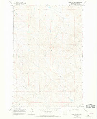
1965 Map of Darby Buttes
USGS Topo · Published 1968About this map
Darby Buttes rise above the high plains of Garfield County in this mid-1960s topographic study. The landscape is defined by the drainage patterns of Sand Creek and Long Branch Creek, with the deep cut of Southerland Coulee carving through the northwestern corner. The mapping detail highlights a sparsely settled ranching landscape, where scattered improvements and fine red dashed fence lines provide evidence of land management in this cattle-country terrain.
Find a feature on this map
10 named features on this map. Tap any name to fly to it.
Don’t see what you’re looking for? This feature index may not catch every label — zoom into the map to look around manually.
Map Details
Editions of this 1965 Darby Buttes Map
This is the sole edition of this map. No revisions or reprints were ever made.
Other maps of this area

1954 · Jordan
USGS Topo · 1:250,000

1956 · Jordan
USGS Topo · 1:250,000

1958 · Jordan
USGS Topo · 1:250,000

1964 · Jordan
USGS Topo · 1:250,000

1964 · Jordan SE
USGS Topo · 1:24,000

1964 · Jordan
USGS Topo · 1:24,000

1965 · Kirby Ranch
USGS Topo · 1:24,000

1965 · Dice Dam
USGS Topo · 1:24,000

1965 · Ziegele Coulee
USGS Topo · 1:24,000
1965 · Darby Buttes SW
USGS Topo · 1:24,000