
1965 Map of Ziegele Coulee
USGS Topo · Published 1968About this map
Southerland Coulee and Ziegele Coulee carve through this Garfield County landscape, recorded during a mid-1960s survey by the Department of the Interior. The map reveals an intricate network of drainage patterns across the terrain, where Sand Creek flows through the southeastern reaches. This area is defined by its subtle topographic shifts, marked by several prominent coulees including McClay Coulee, Willis Coulee, and Graham Coulee. These features represent the primary geographical markers in a territory otherwise characterized by ranching and open land, as evidenced by the fine red dashed lines indicating property fence lines across various sections. For researchers of Montana's high plains, these features provide the essential coordinates for tracing historical land use and natural water courses in a sparsely settled region.
Find a feature on this map
8 named features on this map. Tap any name to fly to it.
Don’t see what you’re looking for? This feature index may not catch every label — zoom into the map to look around manually.
Map Details
Editions of this 1965 Ziegele Coulee Map
This is the sole edition of this map. No revisions or reprints were ever made.
Other maps of this area

1954 · Jordan
USGS Topo · 1:250,000

1956 · Jordan
USGS Topo · 1:250,000

1958 · Jordan
USGS Topo · 1:250,000

1964 · Jordan
USGS Topo · 1:250,000

1964 · Jordan
USGS Topo · 1:24,000

1965 · Big Dry School
USGS Topo · 1:24,000

1965 · Darby Buttes
USGS Topo · 1:24,000
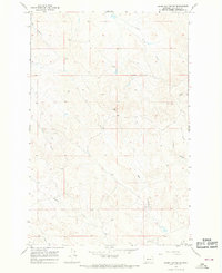
1965 · Darby Buttes SW
USGS Topo · 1:24,000
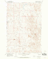
1965 · Fig Mountain
USGS Topo · 1:24,000
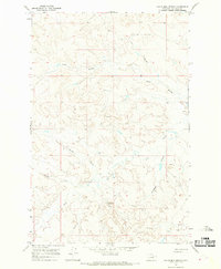
1965 · Van Dusen Spring
USGS Topo · 1:24,000