
1965 Map of Big Dry School
USGS Topo · Published 1968About this map
Big Dry School stands as a focal point in this 1960s landscape of Garfield County, marking a localized center of community in a region defined by its complex drainage network. The terrain is characterized by the meandering path of Big Dry Creek and a series of deeply etched coulees, including Long Coulee and McClay Coulee, which dictate the local topography. This map reveals a sparsely settled ranching or farming environment where land use is intimately tied to the seasonal watercourses like Graham Coulee and Sloan Coulee. The presence of fine red dashed lines indicating selected fence lines offers an unusual level of detail for researchers interested in historical property boundaries and land management practices during the mid-20th century.
Find a feature on this map
6 named features on this map. Tap any name to fly to it.
Don’t see what you’re looking for? This feature index may not catch every label — zoom into the map to look around manually.
Map Details
Editions of this 1965 Big Dry School Map
This is the sole edition of this map. No revisions or reprints were ever made.
Other maps of this area

1954 · Jordan
USGS Topo · 1:250,000

1956 · Jordan
USGS Topo · 1:250,000

1958 · Jordan
USGS Topo · 1:250,000

1964 · Jordan
USGS Topo · 1:250,000

1965 · Robertson School
USGS Topo · 1:24,000

1965 · Edwards
USGS Topo · 1:24,000

1965 · Ziegele Coulee
USGS Topo · 1:24,000
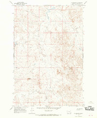
1965 · Fig Mountain
USGS Topo · 1:24,000
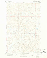
1965 · Van Dusen Spring
USGS Topo · 1:24,000

1983 · Steve Forks
USGS Topo · 1:24,000