
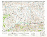
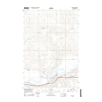
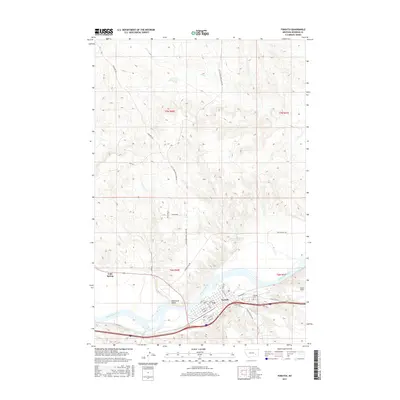
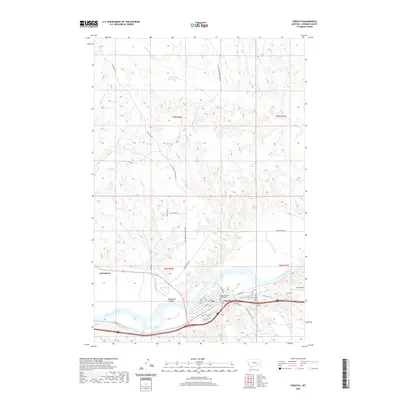
1957 Map of Forsyth
USGS Topo · Published 1957About this map
Yellowstone River and Musselshell River valleys define this mid-century landscape of south-central Montana, where the regional economy is divided between river-bottom agriculture and upland resource extraction. The Northern Pacific and the Chicago Milwaukee St Paul & Pacific railroads parallel these major waterways, facilitating the growth of settlements like Forsyth and Hysham. A distinct industrial shift is evident in the northern reaches, marked by the North West Sumatra Oil Field and the Ragged Point Oil Field, signaling the importance of petroleum in addition to the traditional ranching and rail-based commerce. The vast, dissected plains are crisscrossed by numerous seasonal drainages such as Porcupine Creek, Sunday Creek, and the prominent Sun Coulee. Smaller railroad-dependent points like Ingomar and Sumatra dot the northern line, while the southern corridor along U S Highway 10 follows the fertile Yellowstone valley floor.
Find a feature on this map
44 named features on this map. Tap any name to fly to it.
Don’t see what you’re looking for? This feature index may not catch every label — zoom into the map to look around manually.
Map Details
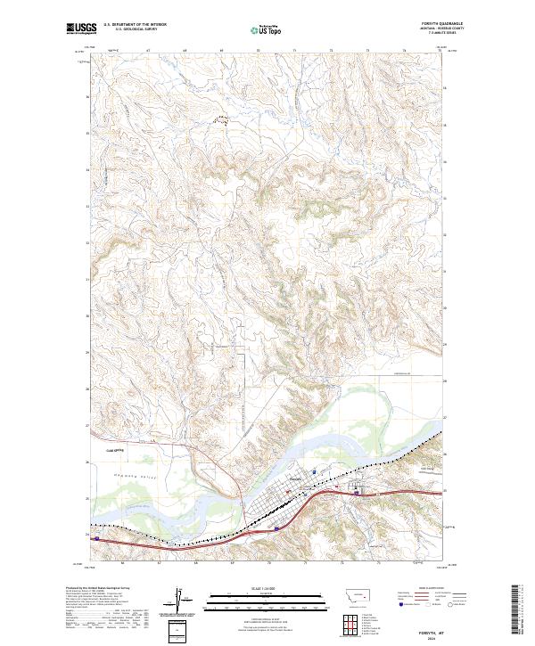
Editions of this 1957 Forsyth Map
This is the sole edition of this map. No revisions or reprints were ever made.
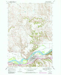
Historical Maps of Forsyth Through Time
11 maps found
1954 Forsyth
Rosebud County, MT
1957 Forsyth
Rosebud County, MT

1958 Forsyth
Rosebud County, MT
1968 Forsyth
Rosebud County, MT
1979 Forsyth
Rosebud County, MT

1983 Forsyth
Rosebud County, MT
2011 Forsyth
Rosebud County, MT
2014 Forsyth
Rosebud County, MT
2017 Forsyth
Rosebud County, MT
2020 Forsyth
Rosebud County, MT
2024 Forsyth
Rosebud County, MT