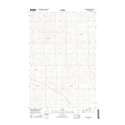
2014 Map of York Reservoir
USGS Topo · Published 2014About this map
York Reservoir sits at the northern edge of this high plains landscape, collecting water in a region defined by its seasonal drainage patterns and sparse infrastructure. The terrain is deeply incised by watercourses such as Lynch Coulee and Langs Fork, which carve through the open range of Garfield County. Settlement is minimal, reflected in the simple road network that includes the descriptively named Two Furrow Rd and the more significant Mt-59 highway cutting across the southern sections.
Find a feature on this map
13 named features on this map. Tap any name to fly to it.
Don’t see what you’re looking for? This feature index may not catch every label — zoom into the map to look around manually.
Map Details
Editions of this 2014 York Reservoir Map
This is the sole edition of this map. No revisions or reprints were ever made.
Other maps of this area

1954 · Jordan
USGS Topo · 1:250,000

1956 · Jordan
USGS Topo · 1:250,000

1958 · Jordan
USGS Topo · 1:250,000

1964 · Jordan
USGS Topo · 1:250,000

1964 · Jordan SE
USGS Topo · 1:24,000

1964 · Ada Creek
USGS Topo · 1:24,000

1964 · Black John Coulee
USGS Topo · 1:24,000

1965 · Cohagen
USGS Topo · 1:24,000

1965 · Kirby Ranch
USGS Topo · 1:24,000

1965 · Dice Dam
USGS Topo · 1:24,000