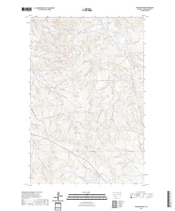
2024 Map of York Reservoir
USGS Topo · Published 2024About this map
York Reservoir sits at the heart of this Garfield County landscape, serving as a primary water source in a region defined by its complex drainage network. The terrain is marked by the seasonal flows of Lone Tree Creek and Langs Fork, which carve through the high plains of Eastern Montana. The map illustrates a strictly rural environment where transport is limited to remote tracks like Two Furrows Rd, which traverses the southern portion of the quadrangle.
Find a feature on this map
11 named features on this map. Tap any name to fly to it.
Don’t see what you’re looking for? This feature index may not catch every label — zoom into the map to look around manually.
Map Details
Editions of this 2024 York Reservoir Map
This is the sole edition of this map. No revisions or reprints were ever made.
Other maps of this area

1954 · Jordan
USGS Topo · 1:250,000

1956 · Jordan
USGS Topo · 1:250,000

1958 · Jordan
USGS Topo · 1:250,000

1964 · Jordan
USGS Topo · 1:250,000

1964 · Jordan SE
USGS Topo · 1:24,000

1964 · Ada Creek
USGS Topo · 1:24,000

1964 · Black John Coulee
USGS Topo · 1:24,000

1965 · Cohagen
USGS Topo · 1:24,000

1965 · Kirby Ranch
USGS Topo · 1:24,000

1965 · Dice Dam
USGS Topo · 1:24,000